Jump To:
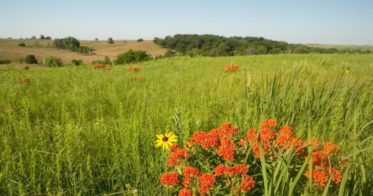
Light Range and Detection, which is more commonly referred to as LiDAR, is remote sensing technology that has become increasingly available and used for a wide range of purposes in the last 10-15 years. LiDAR sensors measure distances and are often used to map topographic relief by generating a mass of elevation points. With the advancement in computer processing, additional information collected with LiDAR sensors pertaining to forest structure (e.g., tree height and density) have also begun to be analyzed. These dense point clouds of elevation and vegetation data can help inform a variety of decisions for foresters and wildlife biologists serving as a tool to monitor changes within the forest or the land surface. This approach can help characterize forests for timber and habitats for different critters, like swamp rabbits, thereby informing various management decisions across landscapes.
The Missouri Department of Conservation uses a Comprehensive Conservation Strategy as an approach to prioritize conservation efforts within certain landscapes both internally and externally with a range of partners. These areas, referred to as Priority Geographies, are scattered throughout the state and the department plans, and monitors habitat and natural community management across their landscapes despite the difficulty in collecting data at these scales. This project applies the latest technology and ecological principles at the landscape scale within three Priority Geographies, which include the River Bends, Mahan's Creek, and Shoal Creek to better characterize their forest habitats. High resolution LiDAR data, at a Quality Level 1, are slated to be collected during the winter of 2022. Once the raw LiDAR data has been reviewed and processed, it will be ready to be analyzed. We plan to explore the data's application for a variety of purposes and products. We'll use existing geospatial tools to estimate forest and woodland canopy heights and the percent of canopy closure at multiple vertical strata (e.g.., overstory, midstory, and understory). We will also highlight the potential to identify characteristics of stream geomorphology (e.g., stream banks) and riparian vegetation. Field data and forest inventory information will be collected in conjunction with the LiDAR so that broader assessments of biomass, height, basal area, mean tree diameter (at breast height), tree and shrub density, and ground cover could be scaled up towards the larger stand level. Exploring the data and evaluating the various applications will hopefully lead to a range of recommendations on how LiDAR could be used elsewhere in the state by the Missouri Department of Conservation and its partners to improve natural resource management.
Shallow Bathymetric Mapping of Buffalo Island Chute: Examining Change Over Time (PDF, 466 KB)
Elevations of a Mississippi River side channel were captured using several methods in 2007 and 2008. Water depths were recorded using boat-mounted GPS depth sounders. Exposed sandbars were mapped with GPS units and laser levels. All measurements were adjusted to daily river elevations from Price Landing gage station. The 2007 and 2008 surfaces were subtracted to identify locations where sediment had been eroded or deposited over time.
Published on Dec 16, 2021 -Shallow Bathymetric Mapping of Floodplain Wetlands to Assist Management Decisions (PDF, 455 KB)
A "red-neck LiDAR" method of collecting elevation information proved useful by logging GPS waypoints and water depths across of flooded green-tree reservoir. This data was then used to predict the extent and depth of flooded conditions and aid in wetland management decisions.
Published on Dec 16, 2021 -